A warm front is a type of weather front that represents the boundary between a warm air mass and a cold air mass.
As the warm air advances, it slides over the colder, denser air in its path, often resulting in a gradual climb in temperatures and a distinct change in weather conditions. Meteorologically, warm fronts are significant because they can lead to widespread cloud cover, precipitation, and changes in wind direction and speed. Understanding warm fronts is crucial for accurate weather forecasting, as the movement and interaction of air masses are quintessential in predicting weather patterns.
When you observe a warm front on a weather map, it is typically symbolized by a line with semicircles pointing in the direction of the warm air’s movement. As it approaches, the weather you experience will often shift. Initially, the arrival of a warm front brings an increase in cloudiness, followed by light, steady precipitation as the warm air starts to replace the cold air. Warm fronts typically move more slowly than cold fronts and can cause longer periods of precipitation.
Post-transition, the temperatures rise, and the weather conditions usually stabilize with the establishment of the warm air mass.
Warm fronts bring gradual warming, clouds, & rain. Look for red line with semicircles on weather maps. They move slower than cold fronts & cause longer periods of precipitation.
Fundamentals of Warm Fronts
As you explore the dynamics of weather patterns, understanding warm fronts is fundamental. Warm fronts are key players in shaping temperature changes and weather conditions in various regions.
Definition and Characteristics
A warm front is a transition zone where a warm air mass replaces a cold air mass. Unlike cold fronts, warm fronts typically move slowly and produce a gradual weather change. The defining characteristic of a warm front is that it involves a less dense, warm air mass attempting to overtake and lift above a denser, cold air mass. As this happens, the temperature in the affected area gradually increases.
Formation and Development
Warm fronts form along the leading edge of an advancing warm air mass. This process begins when the warm air mass encroaches on a stationary, cold air mass. Because warm air is less dense, it rises slowly over the cold air. The development of a warm front can lead to extended periods of precipitation and cloudiness ahead of the actual front due to the gradual ascent and cooling of the warm air.
Warm Front Symbols on Weather Maps
On weather maps, warm fronts are depicted by a solid red line with red line of half circles pointing in the direction of the front’s movement. These symbols help meteorologists and the public quickly identify the type of front and its movement. The half circles symbolize the warm air that is replacing the colder air ahead of it.
Warm Front Weather Patterns
In this section, you’ll learn how warm fronts affect weather patterns, including shifts in temperature, cloud formation, precipitation, humidity, wind, and air pressure.
Temperature Changes and Cloud Types
As warm fronts pass, you can expect a noticeable increase in temperature due to warm air gradually displacing cooler air. The sky typically exhibits a progression of cloud types, beginning with high-altitude cirrus clouds. Following these, you’ll observe altostratus and nimbostratus clouds that often lead to overcast conditions.
Precipitation and Humidity
Precipitation is common when a warm front moves in, presenting as light-to-moderate sustained rain or drizzle. The humidity tends to rise as the warm, moist air increases cloud cover and brings more moisture. This can lead to a damp, muggy feeling in the air.
Wind Patterns and Atmospheric Pressure
As a warm front approaches, wind patterns typically change. Winds ahead of the front often come from the south or southeast, bringing warmer air. The barometric (or atmospheric) pressure usually falls before the warm front’s arrival and then stabilizes or rises slightly as it passes. Keep an eye on your weather station for these changes.
Comparing Warm and Cold Fronts
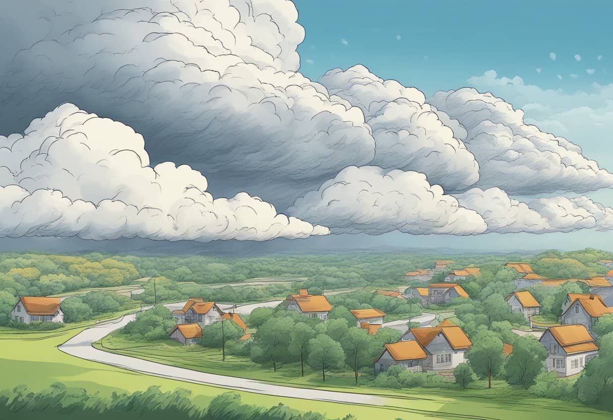
In understanding the impact on weather, it’s important to consider how warm and cold fronts differ in air movement and the weather patterns they create. This knowledge allows you to anticipate changes in weather and comprehend the dynamics of storms and fair conditions.
Differences in Air Movement
When a warm front moves in, warm air steadily slides over cold air because it is less dense. This typically results in a gradual transition in weather. In contrast, when a cold front advances, denser cold air wedges underneath the warmer air, causing a more abrupt temperature change and often more dynamic weather conditions.
Weather Differences
The passage of a warm front is usually characterized by an increase in temperature and initially may bring light rain or drizzle. Following the front, you can expect clearer skies and warmer weather. On the other hand, a cold front can bring thunderstorms, heavy rain, or even hail, due to the significant uplift of warm air by the oncoming dense cold air. After a cold front moves through, temperatures typically drop and the weather clears more quickly compared to a warm front.
Advanced Weather Events Associated with Warm Fronts
Warm fronts, the transition zones preceded by high clouds and characterized by the gradual replacement of cooler air with warmer air, lead to distinct weather events that can impact your day-to-day life. From heightened storm activities to changes across the seasons, understanding the dynamics of these events is crucial for your awareness and preparedness.
Storms and Severe Weather Conditions
When a warm front approaches, you may witness a variety of storm systems and severe weather conditions. These systems are often marked by steadily falling barometric pressure as the warm front nears. The increase in temperature and moisture ahead of the front can create conditions ripe for thunderstorms. These thunderstorms may not be as intense as those triggered by cold fronts, but they can still bring significant heavy precipitation and the potential for tornadoes, especially if the warm air is particularly humid and unstable.
Transition to Occluded Fronts
Occasionally, you may observe a warm front evolve into an occluded front. This transition occurs when a faster-moving cold front catches up to the warm front, lifting the warm air off the ground. During this process, the weather can become complex, with a mix of patterns from both warm and cold fronts. You might experience a broad range of precipitation, from rain to snow, depending on the season and your location. Cumulonimbus clouds may form, indicating the potential for more severe weather.
Impact on Seasonal Weather
Warm fronts also play a significant role in shaping seasonal weather patterns. In winter, they can introduce warmer air masses that may lead to melting snow and ice. The shift from cooler to warmer temperatures frequently results in fog formation due to the condensation of water vapor in the air. In contrast, during the transition into spring and summer, warm fronts can bring about an early thaw and lead to a quicker onset of the typical warm, humid climate associated with these seasons.
By familiarizing yourself with these advanced weather events associated with warm fronts, you can better anticipate changes in weather and prepare accordingly.
Regional and Seasonal Variations
When you encounter warm fronts, the experience can drastically vary depending on where you are on the planet and the time of year. These atmospheric phenomena bring different weather to the northern and southern hemispheres and transform through the seasons.
Warm Fronts in Different Hemispheres
In the Northern Hemisphere, warm fronts typically move from the southwest to the northeast. As they advance, they introduce warmer and moister air, often leading to extensive cloud cover and precipitation. In regions such as the northwest, you might witness the gradual replacement of cooler air in a valley by warmer air, accompanied by stratiform clouds like nimbostratus. Meanwhile, in the Southern Hemisphere, the direction of warm front movement is generally reversed due to the Coriolis effect, moving from the northwest to the southeast.
Seasonal Impact of Warm Fronts
Your weather forecast changes with the seasons, and so do the characteristics of warm fronts. During the spring and summer, warm fronts can contribute to thunderstorms and heavy rainfalls, especially in the southeast of the United States. In contrast, the transition to warmer conditions in the wake of a warm front can be less pronounced during fall and winter, but still significant. Seasonal changes influence not only the temperature but also the types of precipitation you might expect when a warm front is passing through your region.
Interpreting Warm Fronts on Weather Maps
When you see a weather map, it’s crucial to understand the symbols and patterns indicating a warm front, as these can be key predictors of upcoming weather shifts. By familiarizing yourself with these visual cues, you can interpret how weather patterns might change in the coming hours or days.
Reading Symbols and Patterns
Warm fronts are typically represented by a red line with semicircles pointing in the direction the warm air is moving. On a weather map, this symbol indicates where warmer air is replacing cooler air. The semicircles on the line point toward the cooler air and the direction in which the warm front is advancing. In contrast, a stationary front is depicted by alternating red semicircles and blue triangles on opposite sides of one line, suggesting that neither warm nor cool air is advancing.
Symbols you might see:
- Warm front: A red line with red semicircles
- Cold front: A blue line with blue triangles
- Stationary front: Alternating red semicircles and blue triangles on one line
- Occluded front: A purple line with alternating semicircles and triangles
Patterns to look for:
- Direction of semicircles and triangles
- Changes in front symbols over consecutive weather map updates
- Position of fronts in relation to other weather systems on the map, like high and low-pressure areas
Predicting Weather Shifts
Understanding warm front symbols assists weather forecasters and meteorologists in predicting weather changes. As a warm front moves in, you can generally expect the weather to warm and for any present cooler air to become increasingly humid. A moving warm front may bring light to moderate precipitation, followed by clearer skies as the front passes. Weather shifts anticipated by a warm front are more gradual compared to the abrupt changes often brought by cold fronts.
Predictive cues:
- The approach of a red line with semicircles toward your area suggests warming temperatures.
- If the red semicircles remain stationary or change very little across several weather forecasts, it might mean the front has become stationary, leading to prolonged cloudy conditions or precipitation.
- Satellite images can supplement the information on a weather map, showing cloud patterns and weather changes in more detail, which aids in more accurate predictions.
By keeping an eye on these patterns and how they evolve, you can become more skilled at anticipating the weather in conjunction with the forecasts presented by professionals. Remember, the movements of these symbols across the map from one update to the next are crucial to predicting the timing and impact of the weather changes associated with warm fronts.
Frequently Asked Questions
In this section, you’ll find precise answers to common inquiries regarding the unique characteristics and effects of warm fronts on weather conditions.
What distinguishes the weather conditions associated with warm fronts from other types of fronts?
Warm fronts typically bring gradual weather changes, characterized by prolonged periods of light-to-moderate precipitation and warmer air replacing cooler air. In contrast, cold fronts often lead to sharp temperature drops and more intense, short-lived weather events.
How does a warm front typically form within a weather system?
A warm front forms when a mass of warm air advances and slides over a mass of cooler air. This usually happens on the leading edge of a high-pressure system where the warmer, less dense air rises over the cooler, denser air.
Which cloud formations are commonly seen during the passage of a warm front?
As a warm front approaches, you might first notice high cirrus clouds that gradually thicken into altostratus and then nimbostratus clouds, which are typical carriers of steady rain or snow.
What changes occur in weather conditions following the passage of a warm front?
After a warm front passes, temperatures rise, and precipitation usually wanes. The air pressure steadily declines ahead of the front, then typically stabilizes or increases slightly following the front’s passage.
Are atmospheric conditions behind a warm front generally stable or unstable?
The air mass following a warm front is generally more stable compared to the conditions ahead of it. This stability is due to the gradual lifting of warm air over cool air, which tends not to generate the turbulence associated with thunderstorms.
Can you describe the typical weather experienced in the warm sector of a frontal system?
In the warm sector, the area between the advancing warm front and a following cold front, you can typically expect warmer temperatures and higher humidity levels. The skies might be partially clouded, and the weather conditions generally remain mild until the subsequent cold front approaches.

