Wind is an essential atmospheric parameter with both practical applications and scientific importance.
It is measured to understand weather patterns, inform flight operations, provide data for weather forecasting models, and to optimize the performance of wind-driven systems such as turbines. Measuring wind allows meteorologists and researchers to analyze climate trends, predict storms, and understand the dynamics of the Earth’s atmosphere. The speed and direction of wind are two fundamentals of wind characteristics that scientists and professionals measure to assess these phenomena.
The technology and methods used for wind measurement have evolved over time. Early observations utilized simple tools like weathervanes, which indicated wind direction, and anemometers, which measured wind speed. Today’s approaches are far more sophisticated, involving both ground-based instruments and remote-sensing technologies.
These instruments not only measure wind at various altitudes but also help in visualizing wind patterns over time and space, aiding in more accurate weather predictions and efficient design of wind-dependent structures.
Wind measurement is crucial for weather forecasting, aviation, and renewable energy, using anemometers for speed and wind vanes for direction. Advanced technologies like Doppler radar enhance accuracy, aiding in predicting weather changes and storm tracking.
Fundamentals of Wind
Understanding how wind is measured requires a grasp of its basic properties including its dynamics, impact on ecosystems, and influence on weather patterns. As you delve into the world of wind, you’ll encounter various units and scales used to quantify this natural phenomenon.
Wind Dynamics and Behavior
Wind is the horizontal movement of air from an area of high pressure to an area of low pressure. Wind speed and wind direction are influenced by air pressure, temperature, and the Earth’s rotation. The Coriolis effect, due to the rotation of the Earth, causes winds in the Northern Hemisphere to curve to the right, creating wind patterns such as the prevailing westerlies and polar easterlies.
Measurement Units and Scales
Wind measurement is essential for meteorologists and done using different units like miles per hour (mph), knots, and kilometers per hour (km/h). The Beaufort scale is a commonly used system to estimate wind speed based on observed conditions at sea or on land.
Wind’s Role in Weather Patterns
Winds play a key role in the development of weather patterns by transporting warm or cold air masses, creating weather fronts and storms. A high-pressure system typically brings clear skies, while a low pressure system may result in clouds and precipitation. Winds also drive cyclones and hurricanes.
Geographical Wind Patterns
The Earth’s varying surface temperatures, combined with its rotation, create distinct wind patterns. For example, the trade winds, doldrums, and horse latitudes are prominent near the equator, whereas the roaring forties are strong westerly winds found in both the Northern and Southern Hemispheres.
Effects on Ecosystems and Human Activity
Winds can shape ecosystems through processes like seed dispersal and can significantly impact human activities. Local winds, like those on the Great Plains, affect agriculture. Aviation relies on wind information for flight planning; airports carefully monitor wind shear for safety, and pilots need accurate wind measurement for takeoffs and landings. In the maritime world, understanding winds is crucial for sailing ships navigating the seas.
Wind Measurement Instruments
When you need to measure wind, various instruments can provide accurate readings, from traditional mechanical devices to the latest technological tools.
Traditional Instruments
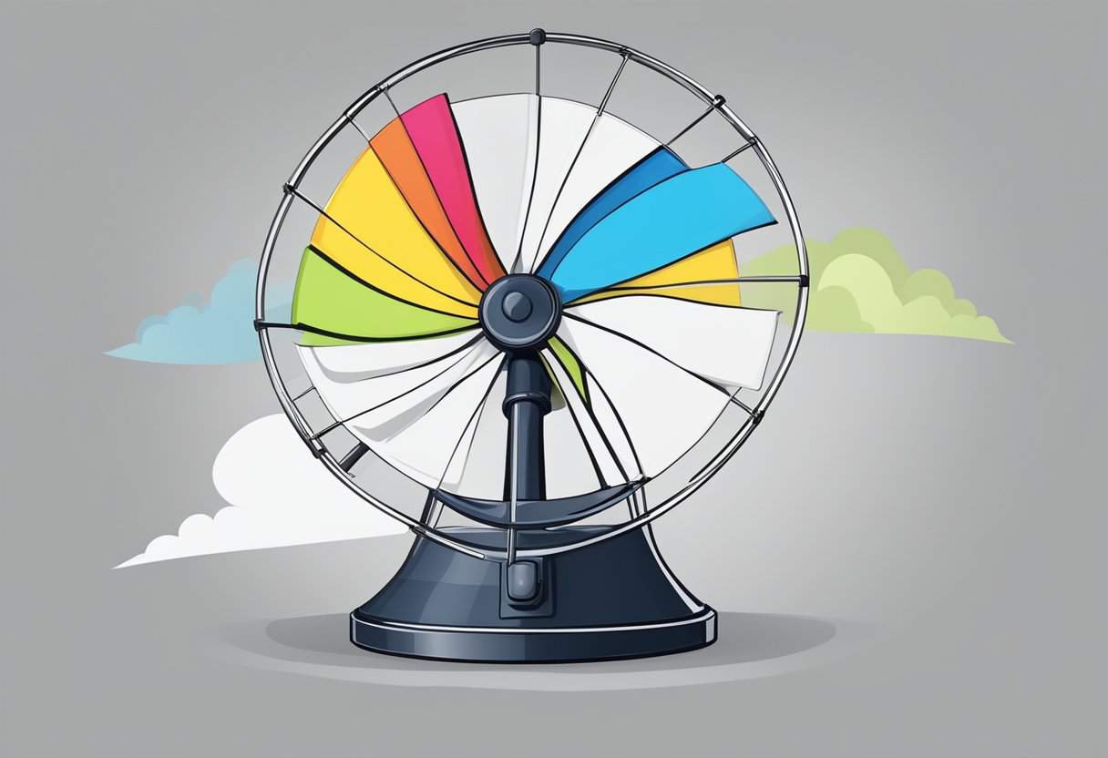
Anemometers are instruments used to gauge the wind speed and, in some cases, direction. Your typical anemometer might be a cup anemometer, consisting of rotating cups that spin faster with increasing wind speed. The number of rotations is used to calculate the speed of the wind. Wind vanes or weather vanes serve to determine the direction of the wind, pointing towards the source of the airflow. Moreover, for simplicity, many locations such as airports might use windsocks to offer a visual cue to the wind’s direction and a rough estimate of windspeed based on the sock’s angle.
Technological Advancements
With the improvement in technology, sonic anemometers have emerged. They employ sound waves and the Doppler shift to measure wind velocity in multiple dimensions, which allows for a more detailed analysis of wind behavior. SODAR (Sonic Detection and Ranging) systems can also echo sound waves into the atmosphere, where variations in the returning sound can indicate wind characteristics at various altitudes. These modern tools offer meteorologists and researchers more data to lead to a better understanding of atmospheric dynamics.
Installation and Positioning
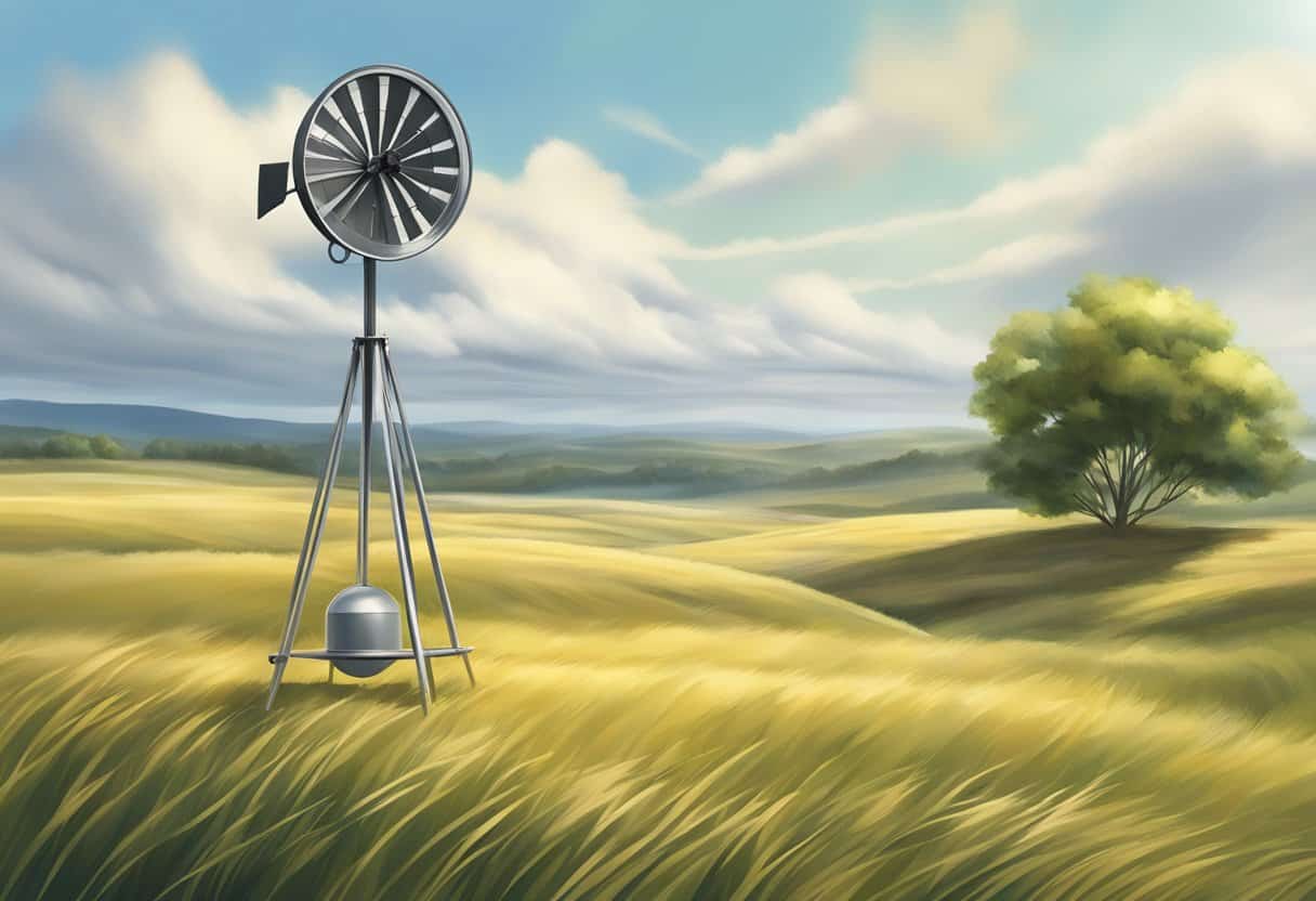
Proper installation and positioning of wind measurement instruments are crucial for accurate readings. Anemometers and wind vanes are often placed on poles at a standard height above the ground to reduce obstructions and interference. They should be positioned in open spaces, away from buildings or trees that can alter the wind flow. At airports and weather stations, this positioning also assists with safety measures like issuing a wind advisory.
Reading and Understanding Output
Interpreting data from wind measurement devices requires understanding both average speed and gusts. Anemometers report wind speeds which can help identify high-pressure systems and low-pressure systems with significant impacts on weather. Meteorologists can use this data to create wind maps and, alongside barometers and isobars, can help forecast weather changes. A barometer can be used to measure atmospheric pressure, which together with wind readings, paints a complete picture of the weather to come.
Wind’s Impact and Utility
Wind interacts with various aspects of human life and the natural environment, affecting everything from global weather patterns to renewable energy sources. It is measured using different instruments like windsocks and wind vanes, and its speed can be communicated in units such as knots.
Environmental Interactions
You may see wind as an invisible force, but it plays a pivotal role in shaping environments. It’s the architect of desert dunes, formed by wind-driven sand, and it contributes to the spread of seeds, enabling plant propagation. Wind also affects climatic conditions; for example, fronts can form where different air masses meet, leading to storms or cyclones. In maritime climates, local winds like the easterly and westerly winds can bring moist air inland, affecting weather patterns.
Wind Power and Energy
Your electricity could very well be powered by the wind. Wind turbines, with their rotating propellers, harness wind energy and convert it into electricity. This process is crucial for utility systems, with wind energy now being “utility scale.” It impacts utility system planning and operations for both generation and transmission, playing an important role in the integration of renewable energy sources into the national grid.
Navigation and Transportation
For centuries, wind has been a crucial factor in navigation and transportation. Sailing ships relied on the trade winds to voyage across oceans, while today, pilots consider wind conditions for safe takeoffs and landings at airports. The National Weather Service issues wind advisories to inform pilots, sailors, and the transportation industry of conditions that could affect their operations.
Wind in Culture and History
The power of wind has long been recognized in your cultural tales and historical narratives. Tornadoes, typhoons, and tropical cyclones, like Olivia at Barrow Island, Australia, have entered history due to their immense impact. Cultural significance is also attributed to winds; the easterly or westerly winds often carry symbolic meanings in literature and folklore.
Frequently Asked Questions
When discussing how wind is measured, you’ll encounter specific instruments for quantifying wind speed and direction, units of measurement, and scales for categorizing wind intensity.
What instruments are used to measure wind speed and direction?
Wind speed is commonly measured using an instrument known as a cup anemometer, a device with three or four cups that catch the wind and rotate at a speed proportional to the wind velocity. Wind vanes are typically used to determine wind direction, pointing into the wind due to the aerodynamic shape of the vane.
How do meteorologists determine the speed of wind in miles per hour?
Meteorologists calculate the wind speed in miles per hour by using anemometers, which measure the speed of the wind passing through or rotating the device. The data is then analyzed and converted into familiar units like mph for reporting and forecasts.
Which scale is used for categorizing the intensity of wind speed?
The Beaufort Wind Force Scale is the most widely used system for categorizing wind speed. It ranges from 0 (calm) to 12 (hurricane-force winds), providing a description of the wind’s effects on the surface below.
What are the common units for measuring wind speed in weather reports?
Weather reports typically measure wind speed in miles per hour (mph) in the United States or kilometers per hour (km/h) in other parts of the world. In specialized contexts such as aviation and meteorology, knots (nautical miles per hour) may also be used.
What does a reading of 20 mph on a wind gauge indicate in terms of wind strength?
A reading of 20 mph on a wind gauge indicates a moderate breeze. According to the Beaufort scale, this would be described as a fresh breeze, capable of causing twigs to break off of trees and delaying pedestrians.
What are the different methods employed to measure wind in meteorology?
In meteorology, wind measurement can utilize an array of methods including mechanical devices like cup anemometers and sonic anemometers which use ultrasonic sound waves to measure wind velocity. Meteorological stations may also provide data for calculating wind stats over a period for various applications.