Weather radar systems are integral tools used by meteorologists to observe and predict weather patterns.
By emitting microwaves and detecting the returned signals, these radars can determine the location, movement, and intensity of precipitation. This allows for real-time tracking of storms and rain, providing essential data to forecast impending weather changes. The accuracy of weather radar has improved with advancements in technology, allowing for its application in flood warning, agriculture, and aviation safety.
How they achieve this involves complex processes that are designed to make sense of the signals bounced back by atmospheric phenomena like raindrops, snow, or hail. Weather radar operates on the principle of the Doppler effect, which detects motion by measuring the frequency shift in returning waves. By analyzing these shifts, meteorologists can infer the velocity and patterns of weather systems. With sophisticated algorithms and radar echoes, even features like wind velocity and precipitation rate become measurable.
Advanced weather radar technologies, such as dual-polarization radar, improve the ability to distinguish between different types of precipitation. This level of detail supports better weather prediction models and analytical tools, making the role of the radar central in anticipating weather disturbances. As you rely on daily weather updates, it’s the data from these radars that inform meteorologists so they can deliver accurate forecasts.
Weather radars detect precipitation by emitting microwaves and analyzing returned signals, enabling meteorologists to track storms and forecast weather. Advanced radar technologies, like Doppler and dual-polarization, further enhance prediction accuracy.
Fundamentals of Weather Radar
Weather radars utilize the principles of radio detection and ranging to analyze atmospheric conditions. By understanding the key mechanisms, you can better appreciate how meteorologists forecast weather events.
The Basics of Radar Technology
Radar—an acronym for radio detection and ranging—is a system used to detect objects and gauge their distance by using radio waves. The radar generates pulses of radio waves that travel through the air until they encounter an object. When a pulse hits an object, such as a raindrop, the object reflects part of the energy back to the radar. This returned signal is then referred to as an echo.
The radar comprises several key components, including an antenna which sends out the radar beam and receives the echoes. The time it takes for the pulses to return to the radar provides data on the distance to the object, while the energy of the returned echoes can be analyzed to ascertain the object’s reflectivity. Reflectivity is particularly important in weather radars as it can help discern the type and intensity of precipitation.
Understanding the Doppler Effect
Doppler radar, a specific type of radar, enhances basic radar technology by also evaluating the movement of objects, using a phenomenon known as the Doppler effect. When the radar beam emitted by an antenna encounters a moving object, the frequency of the reflected wave changes relative to the motion of the object. This change, known as the Doppler shift, allows the system to measure the velocity of objects directly toward or away from the radar.
This technique was notably refined during and after World War II, and today’s advanced Doppler weather radars provide invaluable data for meteorological observations. These radars can detect nuanced shifts in frequency caused by moving precipitation particles, thus enabling meteorologists to predict weather patterns like storms or tornados with increased accuracy by observing the motion of the precipitation.
Weather Radar Operations
When you hear about weather forecasts or storm warnings, these often rely on critical data from weather radar operations. These systems scan the atmosphere to detect precipitation, its intensity, and movement, providing essential information for both meteorological analysis and public safety.
Radar Scanning Techniques
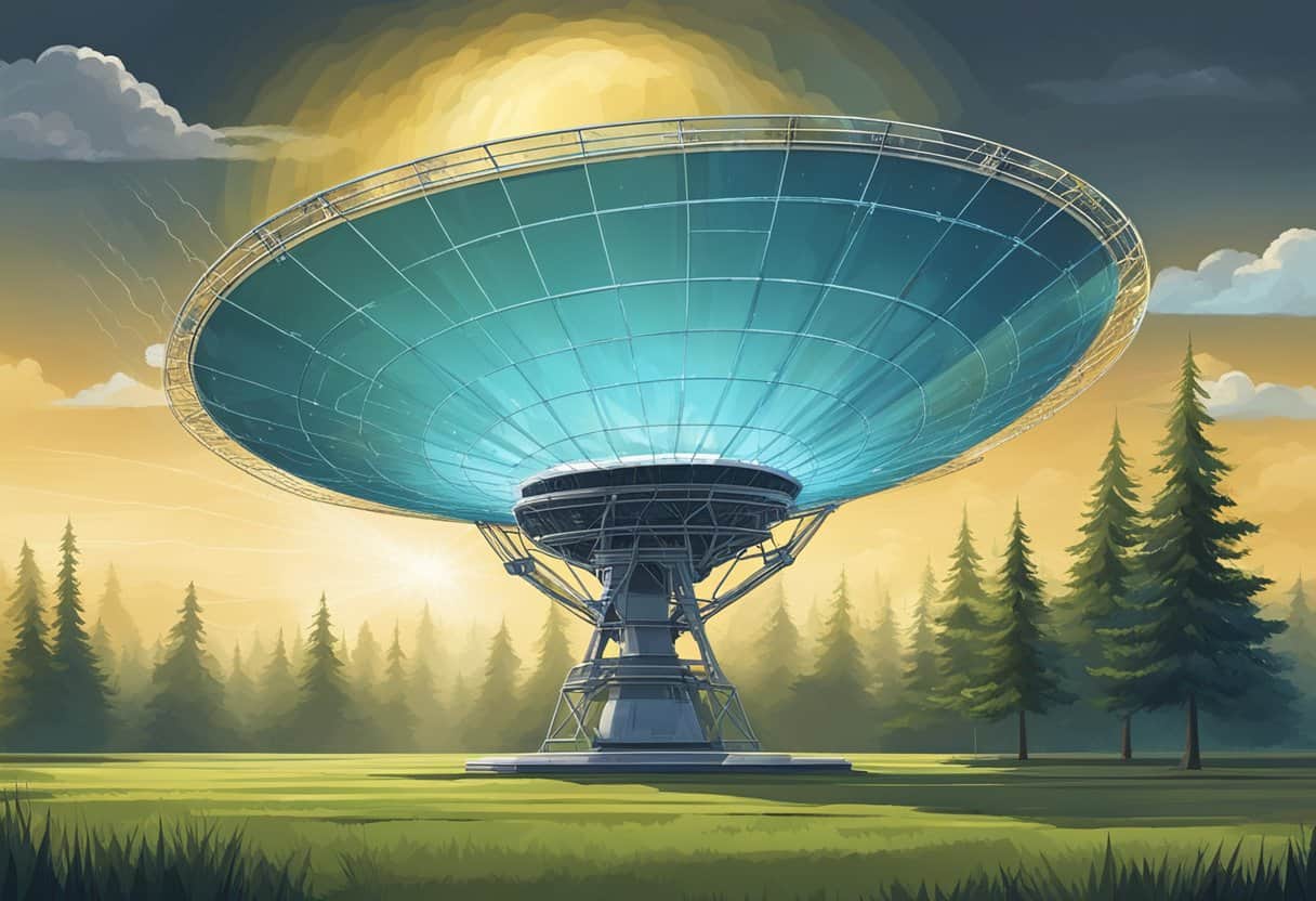
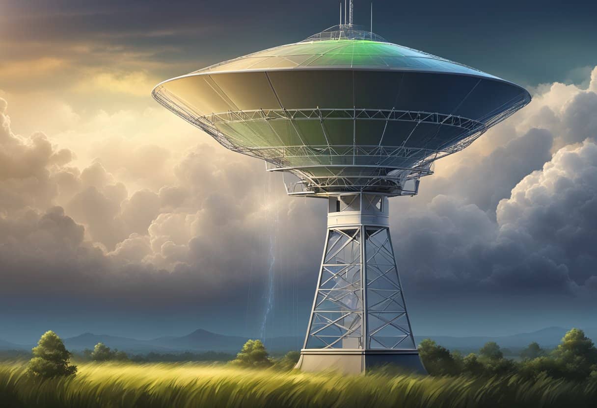
Weather radars, such as the WSR-88D (commonly referred to as NEXRAD), utilize sophisticated scanning techniques to survey the atmosphere. A volume scan consists of the radar beam sweeping in a complete circle and then tilting upward to complete another circle at a slightly higher elevation. This process repeats at a series of elevations, allowing you to obtain a three-dimensional view of the atmosphere. Typically, the scan will cover a range up to 250 miles from the radar site, providing a comprehensive map of precipitation.
Interpreting Radar Signals
Once a weather radar emits a beam, it measures the returned signal’s phase and intensity to interpret velocity data and distance, which allows you to understand the movement and type of precipitation. The phase of the returned signal can help to differentiate between rain, snow, and hail. Additionally, by analyzing the shift in the velocity data of the returned beam, one can estimate the speed and direction of the precipitation’s movement, relative to the radar. This ability to map the distance and range of weather phenomena in relation to the radar station is crucial for accurate weather prediction and safety advisories.
Advanced Weather Radar Technologies
Weather radar technology has evolved significantly to provide you with more accurate and detailed atmospheric data. These advancements help you better understand and predict severe weather patterns, analyze storm structures, and ensure public safety.
Dual Polarization Upgrade
The Dual Polarization upgrade to the existing Doppler weather radars is a significant enhancement that allows the radar to send and receive pulses in both the horizontal and vertical orientations. This technology gives you a comprehensive two-dimensional picture of whatever is in the sky—be it rain, hail, snow, or even tornado debris. The addition of dual-polarization means that the radar can now measure the shape and size of precipitating particles, improving your ability to distinguish between various types of precipitation and enhancing rainfall estimates.
- Benefits of Dual Polarization for Weather Analysis:
- Better estimation of rainfall rates and accumulation
- Improved detection of hail and discrimination between heavy rain and hail
- Enhanced identification of snow and mixed-phase precipitation
- Increased capability to detect and analyze tornado debris
NEXRAD and Its Importance
The Next-Generation Radar (NEXRAD) system, utilizing the WSR-88D Doppler radar, is at the heart of modern meteorology. NEXRAD plays a vital role in tracking and predicting severe storms by providing detailed data on storm structures. The radar network is pivotal in monitoring storm features such as velocity, base reflectivity, and VCP (Volume Coverage Patterns) in both clear air mode and more active weather scenes.
- Key Features of NEXRAD:
- Offers clear air mode for detecting fine atmospheric particles when there is no precipitation, enhancing your ability to predict weather changes.
- Supplies base reflectivity data critical for observing storm intensity and movement.
- Helps to pinpoint velocity information, enabling you to track rotational patterns in storm clouds that could indicate the presence of tornadoes.
- Phase shift capabilities to measure the movement toward or away from the radar, providing comprehensive wind speed data.
NEXRAD’s advanced monitoring capabilities ensure that you have accurate and timely information to make informed decisions during weather emergencies.
Weather Prediction and Analysis
In the realm of meteorology, weather radar stands as a pivotal tool for predicting and analyzing atmospheric conditions. It enables you to understand various weather phenomena and forecast potentially hazardous events with greater accuracy.
Application in Meteorology
Weather radar is instrumental in meteorology, where it serves to examine the state of the atmosphere. Radar systems transmit pulses of microwave energy and detect the signals reflected back by objects, such as raindrops, snowflakes, and hail. These reflections, called “echoes,” present you with valuable data regarding the size, number, and movement of these precipitation particles. Meteorologists, utilizing advanced algorithms, can discern the intensity of weather events by analyzing these echoes. This analysis is crucial in understanding the characteristics of both rain and snow, revealing patterns associated with complex weather systems.
Moreover, radar helps in pinpointing the wind speed and direction by measuring the Doppler shift in the returned signals—a technique known as Doppler radar. This data is critical for assessing weather events like tornadoes, where the presence of strong rotation in the atmosphere is indicative of potential development.
Forecasting Weather Events
When forecasting weather, meteorologists rely on radar to detect and track storms. Your ability to anticipate the severity and path of tornadoes, thunderstorms, and other events is significantly enhanced by noting changes in wind direction, wind speed, and precipitation intensity. Weather radars proficiently filter out non-meteorological echoes, or clutter, caused by buildings, trees, and birds, ensuring the data you receive is not obscured.
The advent of artificial intelligence (AI) and its application in weather prediction further refines the forecasting process. AI analyzes vast amounts of radar data more quickly and accurately than ever before, aiding meteorologists in providing your early warnings concerning tornado formation or severe hail storms. High-resolution models assimilate radar data to depict the dynamics of weather events, empowering forecast systems to provide reliable and life-saving weather predictions.
Frequently Asked Questions
In this section, you’ll find detailed answers to some common inquiries regarding weather radar technology and its applications in meteorology.
What principles of physics enable weather radar to function?
Weather radars operate on the principle of electromagnetic wave reflection. They send out microwave signals that reflect off precipitation particles in the atmosphere, allowing the radar to determine the location and intensity of precipitation.
In what ways is Doppler radar applied within the field of meteorology?
Doppler radar is crucial for observing weather patterns, especially for the detection of severe weather conditions like tornadoes. It measures the velocity of particles in the air, which helps meteorologists understand wind patterns associated with storms. Improved understanding of tornado vortices is an application of Doppler radar observations.
What kind of measurements can be obtained using a Doppler radar?
Doppler radars can measure the velocity of precipitation particles, providing data on their motion toward or away from the radar. This data can reveal wind speed and direction within weather systems, essential for tracking storms and predicting their path.
Can you explain how to interpret the various colors on a weather radar display?
The colors on a weather radar display represent the intensity of the precipitation. Typically, warmer colors like red and orange indicate heavier precipitation, while cooler colors like green and blue suggest lighter precipitation. The specific key varies between different radar systems.
How reliable are weather radars in predicting meteorological conditions?
Weather radars are generally reliable for short-term weather predictions, particularly for precipitation events. They are less effective for long-term forecasts, as radars can’t detect atmospheric conditions beyond precipitation. Sometimes, radar signals can be affected by non-weather related factors, which must be accounted for in analyses.
What is the maximum range at which radar technology can detect precipitation?
The maximum range for precipitation detection by weather radar is typically about 100 to 150 miles from the radar site. However, the quality of data decreases with distance from the radar, due to the curvature of the Earth and the increasing height of the radar beam with range.